REAL-TIME MILITARY ISR
AI ENHANCED

Detect, track and geo-locate targets in real time — on any drone, any camera, any video feed.

Advanced AI Out Of The Box

Artificial Intelligence

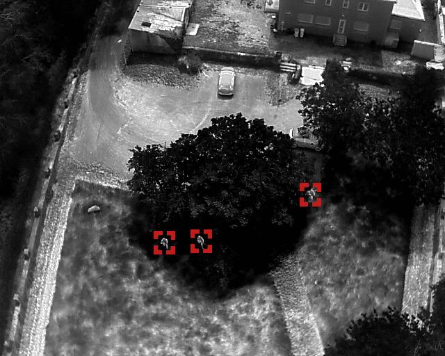
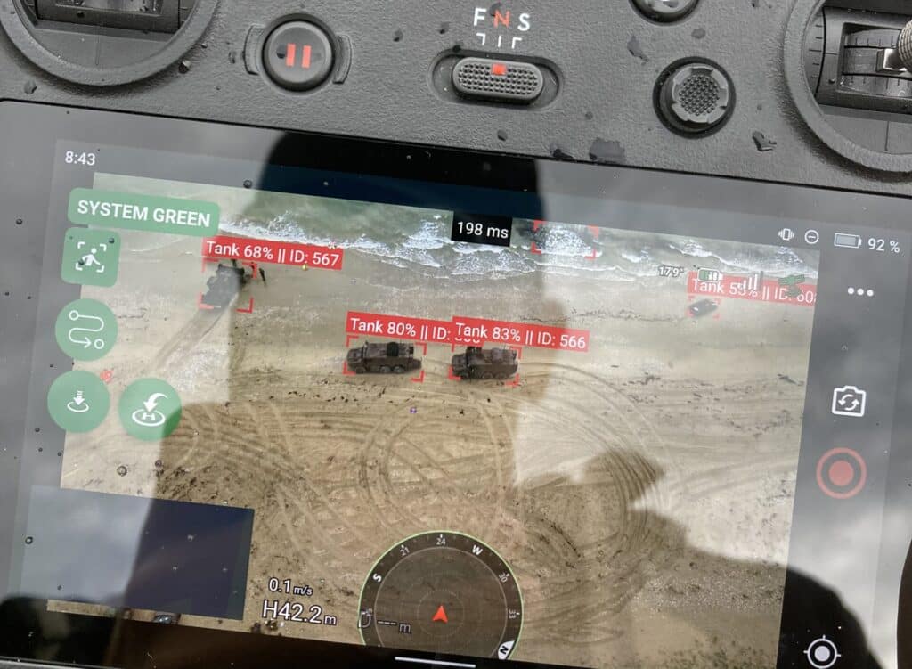
At the heart of DroneAI is advanced artificial intelligence that turns a live video feed into actionable intelligence — detecting, tracking and geo-locating what matters, in real time and at the edge.

  • Real-Time Detection & Classification: identify and classify personnel and vehicles from live video with AI-powered precision.
  • Designated-Target Tracking: lock onto a selected target and keep following it through occlusion, camera motion and detector dropouts.
  • Geo-Referenced Awareness: every detection is placed on the map in real time, building a live common operating picture for the whole team.
  • Autonomous Operations: AI handles detection and flight, reducing operator workload during the mission.
  • Works Disconnected: all processing runs on the edge — no cloud, no central servers, no dependency on external connectivity.

Whether it’s safeguarding restricted areas or enhancing operations, DroneAI brings the power of AI to your fingertips, making every mission smarter and more reliable.
Proven In The Field

POLARIS 25 — Joint exercise with the 2e RIMa: over 3.500 soldiers, 20 naval vessels and 40 aircraft from 9 NATO countries, at sea and on land with our enhanced AI ISR technology.

Read the full POLARIS debriefing

ORION 26 — France’s largest military exercise since the Cold War: 12.500 troops, 25 ships including the Charles de Gaulle carrier, 140 aircraft and over 1.200 drones from 24 allied nations, under high-intensity warfare conditions.

Read the full ORION debriefing

Works with drones, cameras or any video feed

Platform-Independent AI

Our AI is not tied to any single airframe or manufacturer. It works with any video source and runs wherever the mission needs it — so your capability is never locked to one platform.

  • Any video source: drones, gimbals, fixed cameras or any RTMP stream.
  • Two ways to deploy: embedded in the app on the controller, or on our dedicated Data Station AI node.
  • Always on the edge: no cloud, no central servers, ready for contested and disconnected environments.
Real-Time Object Detection
AI-driven algorithms to identify and track objects like vehicles, persons or animals in real-time.
On-Edge Processing
All analysis runs locally — on the device or on an NVIDIA Jetson AI node — with no cloud dependency, ready for contested and disconnected environments.
Already Tested Solution
Deployed in two consecutive large-scale exercises — POLARIS 25 and ORION 26, alongside forces from over 20 NATO and allied nations. Trust DroneAI to deliver results where it matters.
AI On Hardware You Control

The Data Station

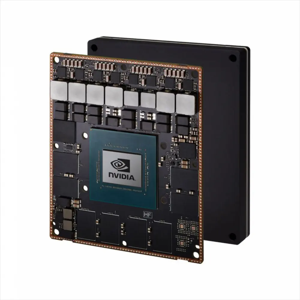
The Data Station is our edge AI module: a compact node powered by NVIDIA Jetson that takes in a live video feed and runs the full detection and tracking pipeline in real time, right at the edge of the operation — with no dependency on any single drone manufacturer.

  • Any feed in: connect a drone, a gimbal, a fixed camera or any RTMP stream.
  • Sovereign AI hardware: built on NVIDIA Jetson — Western compute, no reliance on a single airframe vendor.
  • Fully disconnected: all inference runs locally, with no cloud and no central servers.
  • Intelligence out: geo-referenced detections and tracks, ready to feed your map or command-and-control system.

Mounted on the platform or deployed as a ground node, the Data Station brings DroneAI’s intelligence to hardware you own — and turns any existing drone or camera fleet into a real-time ISR sensor.
nvidia jetson
The Fastest Way To Get Started

DJI Plug’n’Play

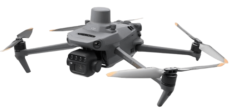
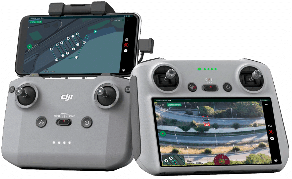
One of the fastest ways to deploy DroneAI is on DJI hardware — install the app and fly. The same AI runs independently of the airframe, so your capability is never locked to a single manufacturer.

  • Install & Go: Just download the app on your mobile device or DJI RC.
  • Quick Setup: Open the app, and you’re ready to start planning your mission.
  • Intuitive Interface: Prepare and execute sentinel missions effortlessly with user-friendly tools.

With DroneAI, there’s no complicated setup or learning curve – it’s drone operations made smarter and faster, right out of the box.
Compatible Models

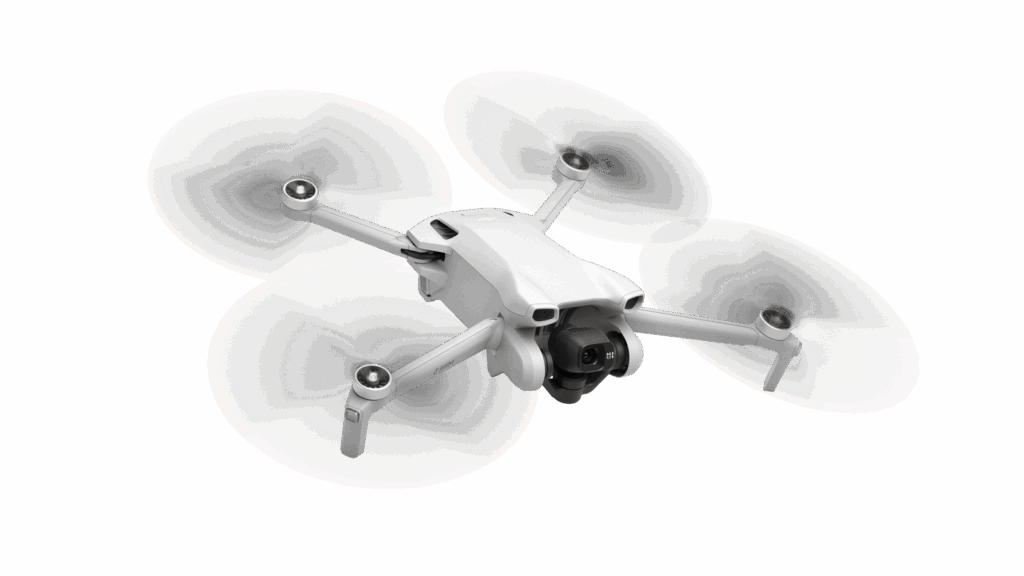
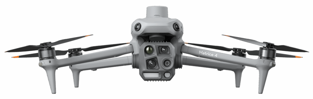
Matrice 4D, Matrice 4DT, Matrice 4E, Matrice 4T, Matrice 350 RTK, DJI Mini 3 Pro, DJI Mini 3, DJI Mini 4 Pro, DJI Mavic 3M, DJI Mavic 3 Enterprise Series, Matrice 30 Series and Matrice 300 RTK. Beyond DJI, DroneAI is built to integrate with additional platforms and open autopilot standards.

Pre-Flight Planning

Prepare Missions In Detail

With DroneAI, mission planning has never been more precise. Our intuitive tools allow you to customize every aspect of your drone operations, ensuring no detail is overlooked.

  • Define Objectives: Specify mission goals, from patrolling areas to detecting objects.
  • Set Parameters: Adjust altitude, flight paths, and other key settings with ease.
  • Advanced Mapping: Use interactive maps to outline zones and routes with pinpoint accuracy, and import existing routes from standard KML files.

Take full control of your drone missions with detailed planning, ensuring maximum efficiency and precision at every step.

Industry and Business

Search and Recover

Armed Forces

Wildlife